Cliff House Album
 3
3
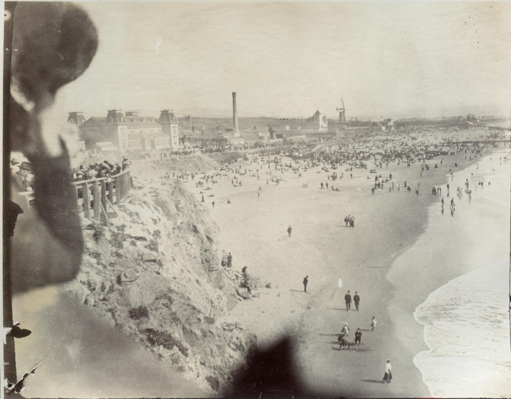
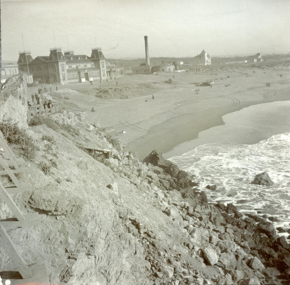
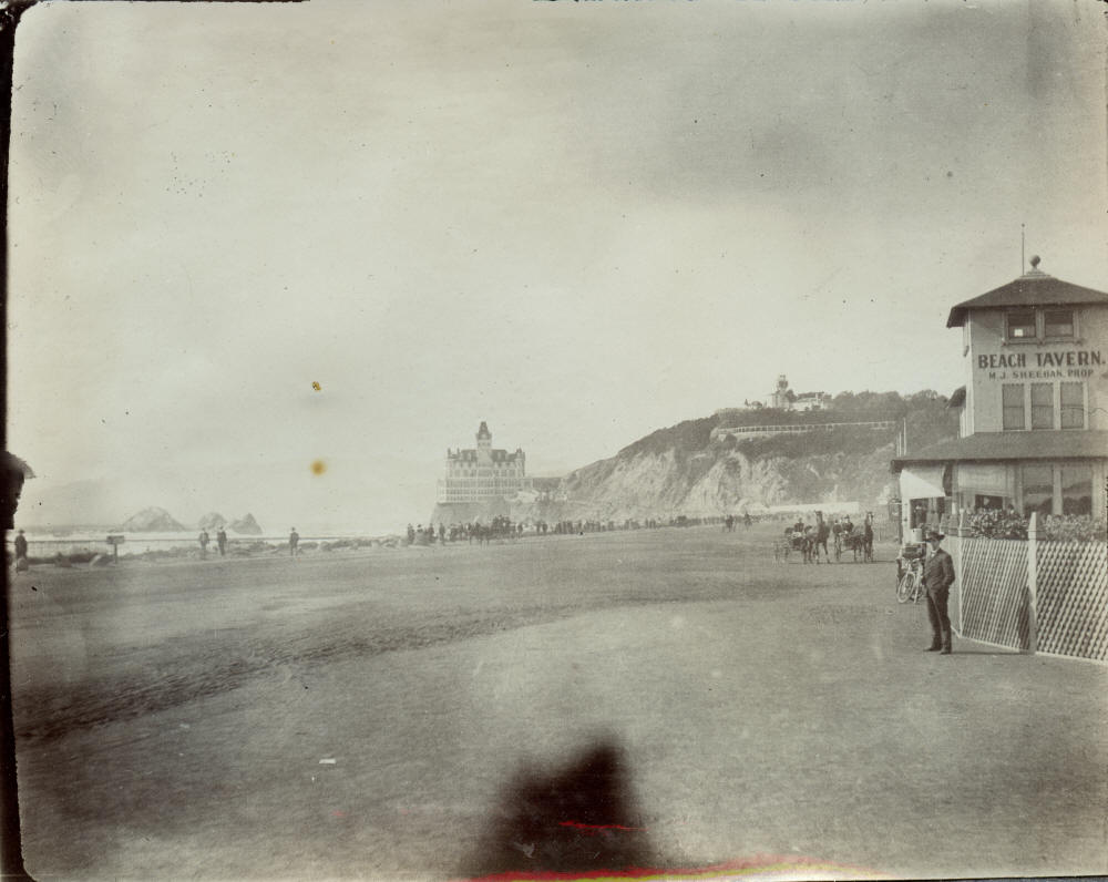
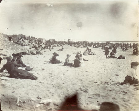
Ocean Beach, Cliff House, Sheehan's Tavern (right center)
 6
6
Life Boat Station, Ocean Beach
 7
7
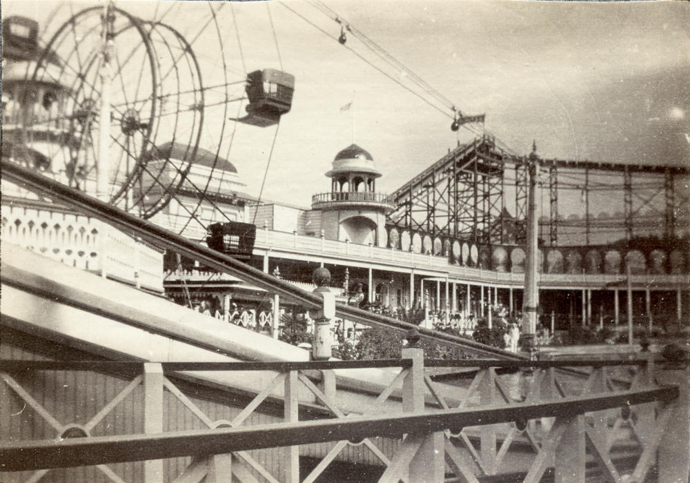
The Chutes #2, 10th Ave. and Fulton St. (c. 1904)
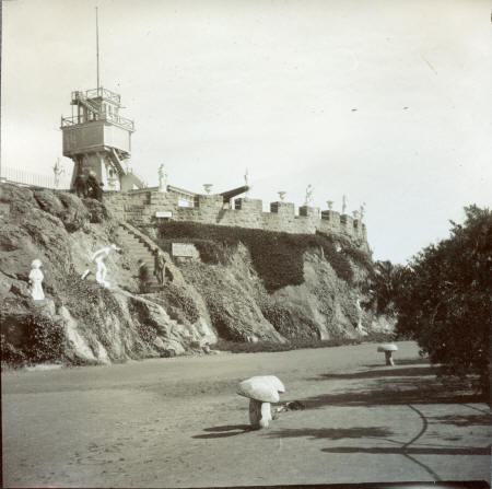 10 10Parapet |
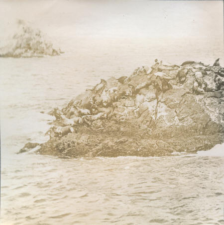 11 11Seal Rock |
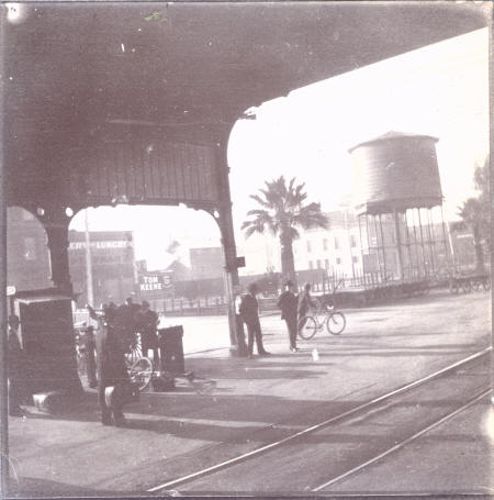 12 12Southern Pacific Railroad Depot, San Jose, CA. Market and Basset Streets, circa 1900-10, looking south west |
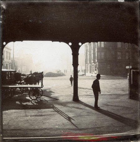 13 13Southern Pacific Railroad Depot, San Jose, CA. Market and Basset Streets, circa 1900-10, looking south down Market Street |
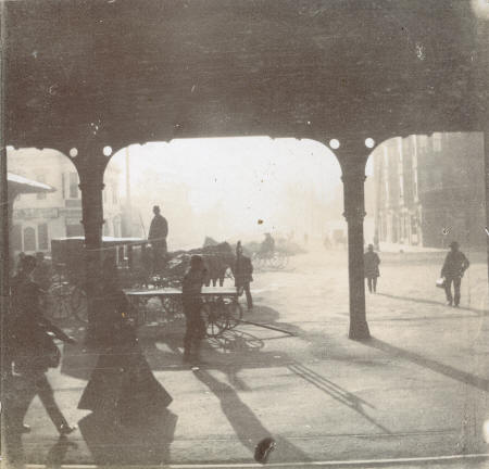 14 14Southern Pacific Railroad Depot, San Jose, CA. Market and Basset Streets, circa 1900-10, looking south down Market Street |
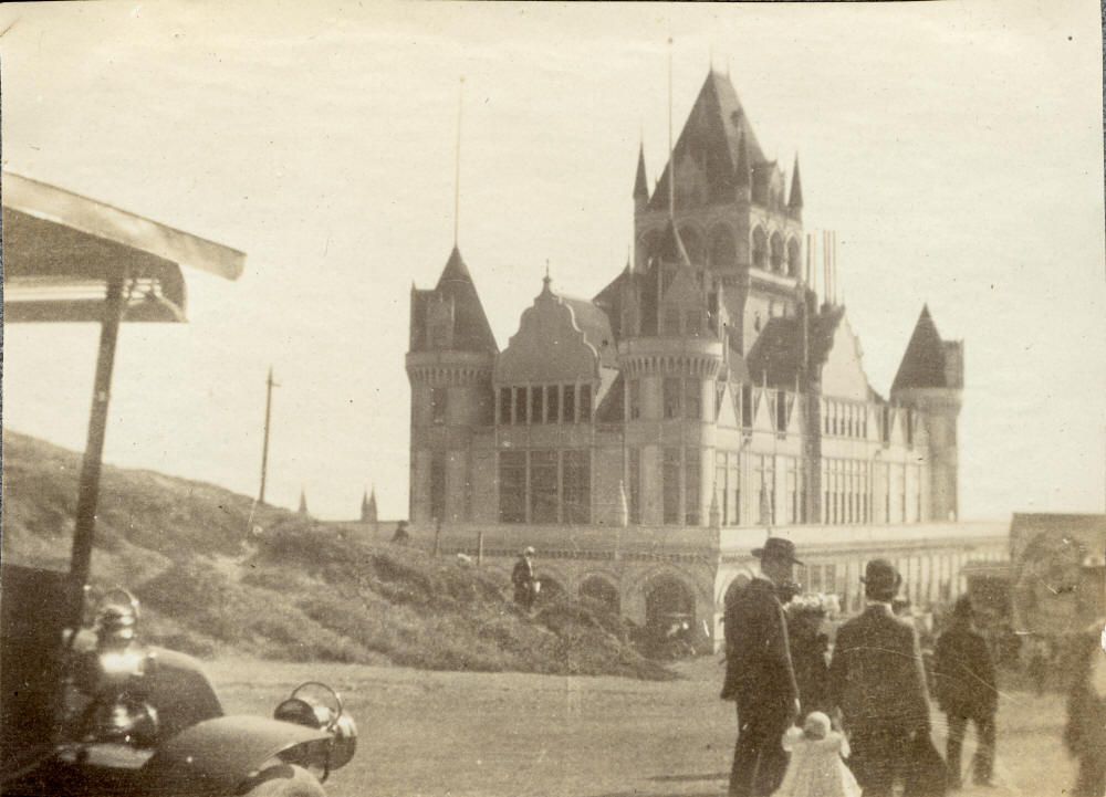
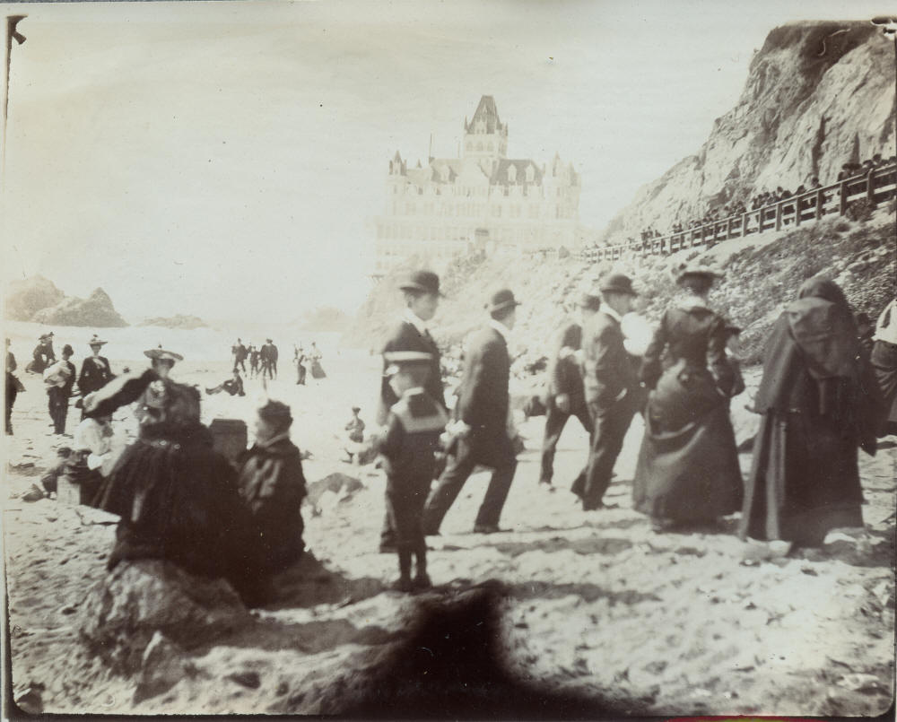
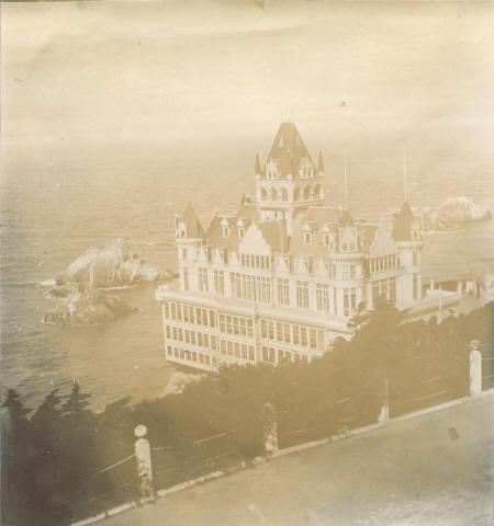 15 15Cliff House |
 16 16 |
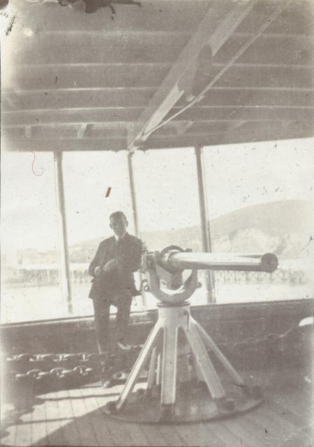 17 17U.S. Naval Training Station on Yerba Buena Island |
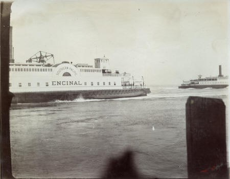 18 18"ENCINAL SOUTHERN PACIFIC" |
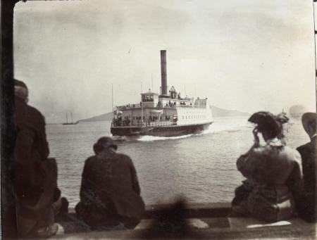 19 19Ferryboat Garden City |
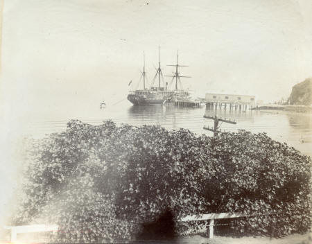 20 20U.S. Naval Training Station on Yerba Buena Island |
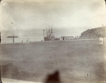 21 21U.S. Naval Training Station on Yerba Buena Island |
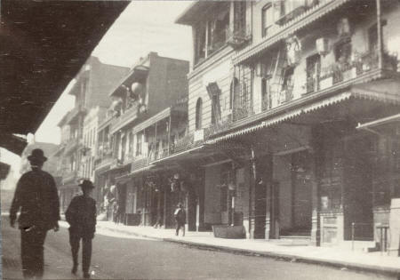
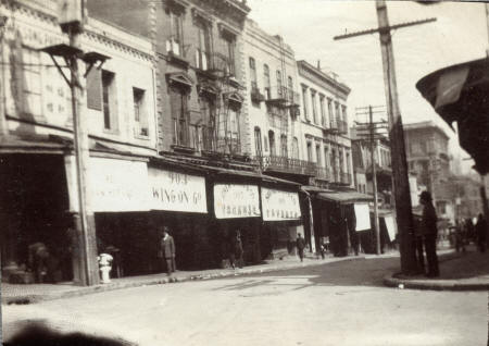 22 22View north toward the west side of Grant from Washington reference: https://www.opensfhistory.org/Display/wnp37.02567.jpg |
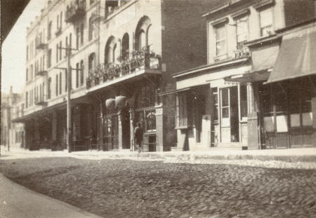 23 23 |
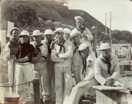 24 24U.S. Naval Training Station on Yerba Buena Island |
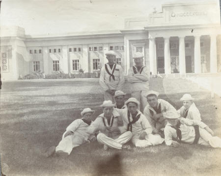 25 25U.S. Naval Training Station on Yerba Buena Island |
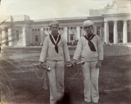 26 26U.S. Naval Training Station on Yerba Buena Island |
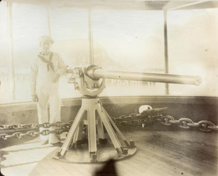 27 27U.S. Naval Training Station on Yerba Buena Island |
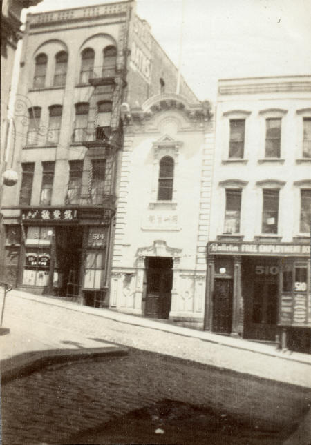
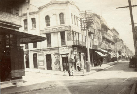 28 28View North on toward the west die of Grant across Sacramento |
 29 29 |
 30 30 |
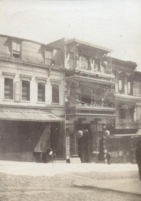 31 31Clay Street, between Waverly and Grant (Dupont) Street (the 800 block of Clay Street today) |
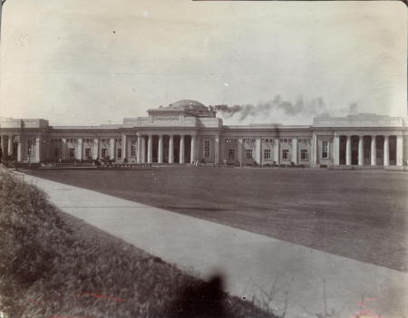 32 32U.S. Naval Training Station on Yerba Buena Island |
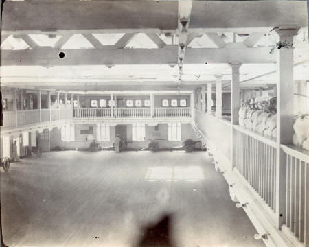 33 33U.S. Naval Training Station on Yerba Buena Island |
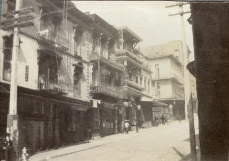 34 34 |
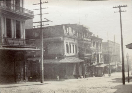 35 35Corner of Waverly Place and Clay, looking in the direction of Grant (Dupont) |
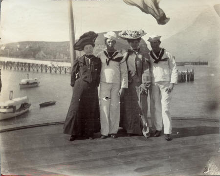 36 36U.S. Naval Training Station on Yerba Buena Island |
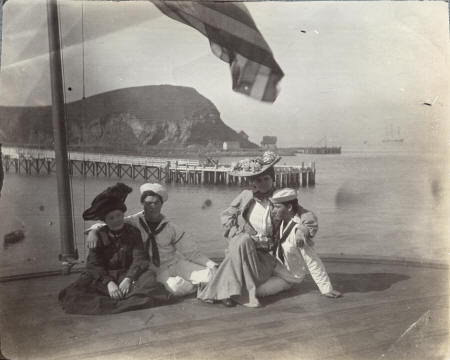 37 37U.S. Naval Training Station on Yerba Buena Island |
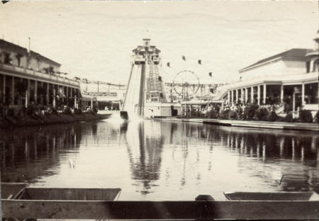 38 38The Chutes #2, 10th Ave. and Fulton St. (c. 1904) |
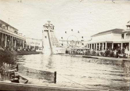 39 39The Chutes #2, 10th Ave. and Fulton St. (c. 1904) |
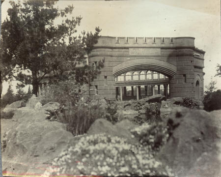 40 40Sweeney’s Observatory, also called the Park Panorama |
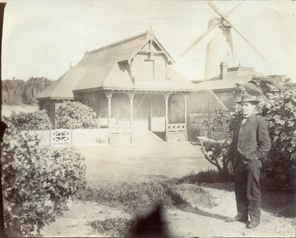
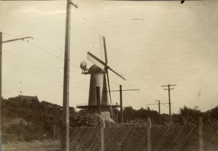 41 41Windmill |
- Full Album -
